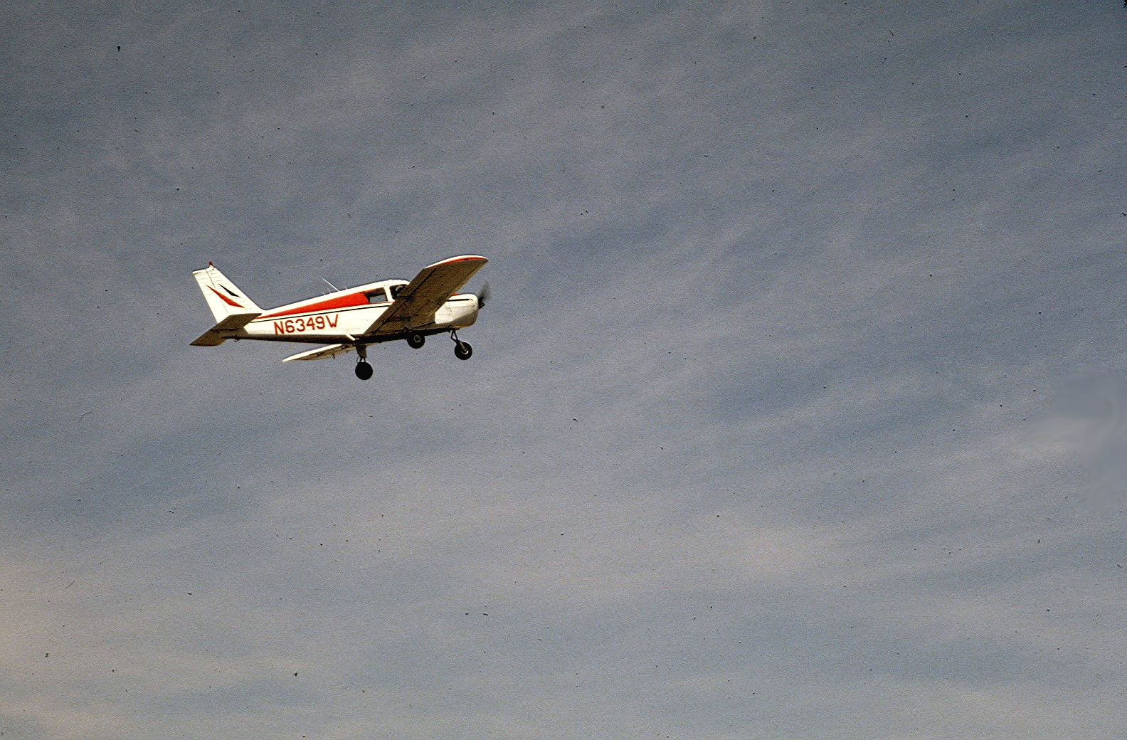
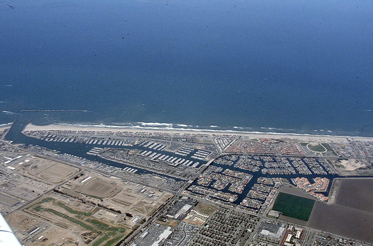
This Piper Cherokee, built in 1964, provided a
platform for these photos. It had a small window ideal for aerial
photography even 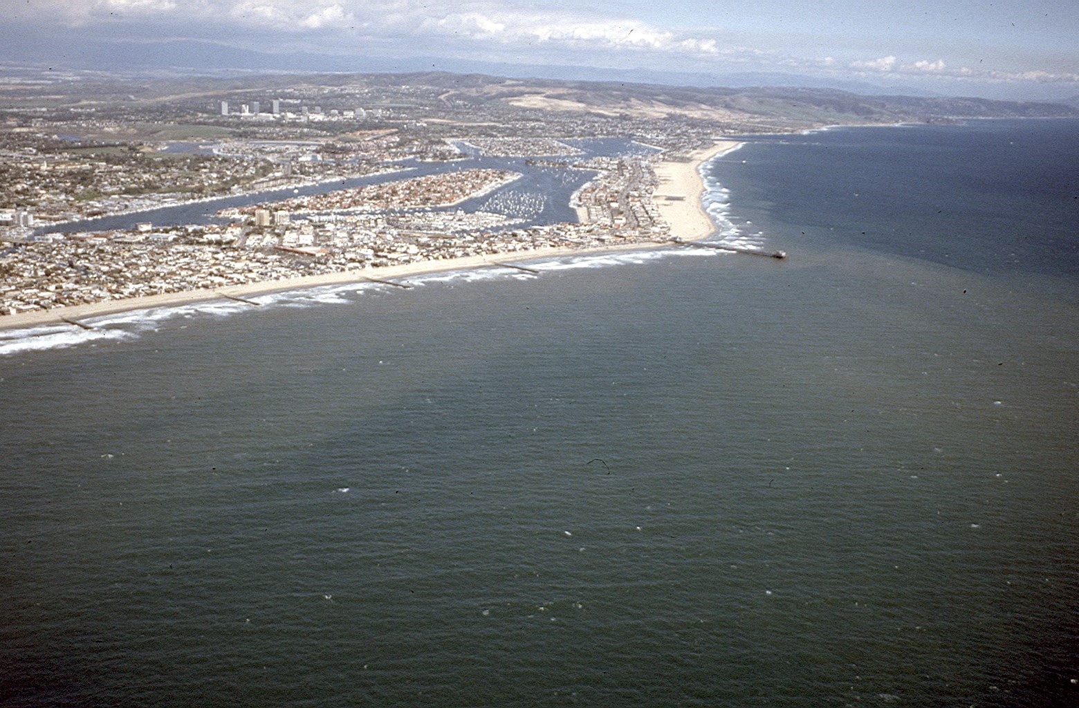 This shows Newport Beach as it appeared in 1990. 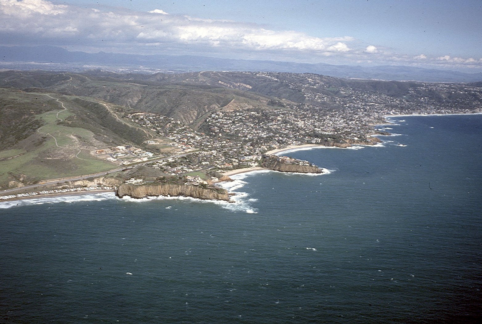 This is Laguna Bech, circa 1990 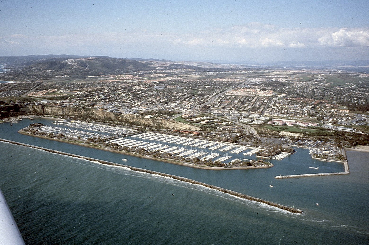 Dana Point harbor, 1991 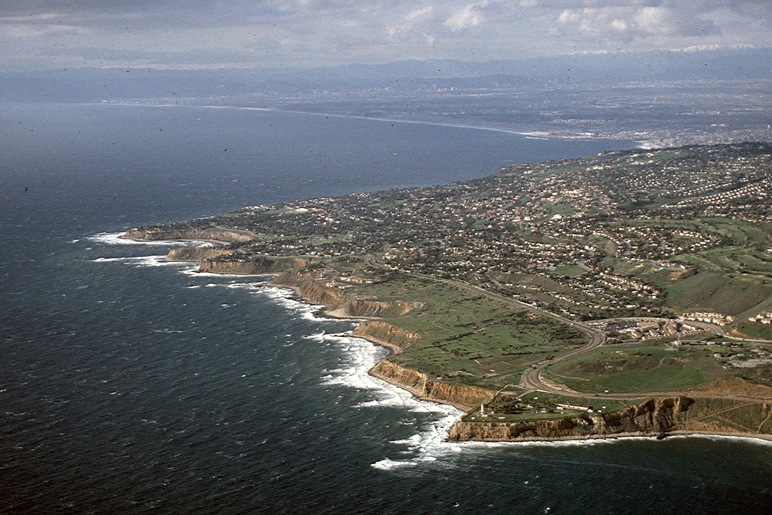 Palos Verdes with the South Bay and westside of L.A. in the background. 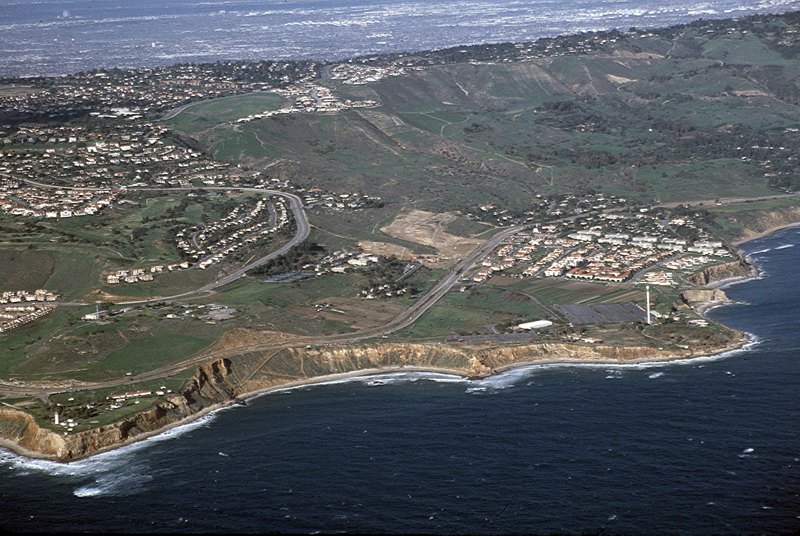 This is the Portuguese Bend area before the landslides reached today's catastrophic proportions. 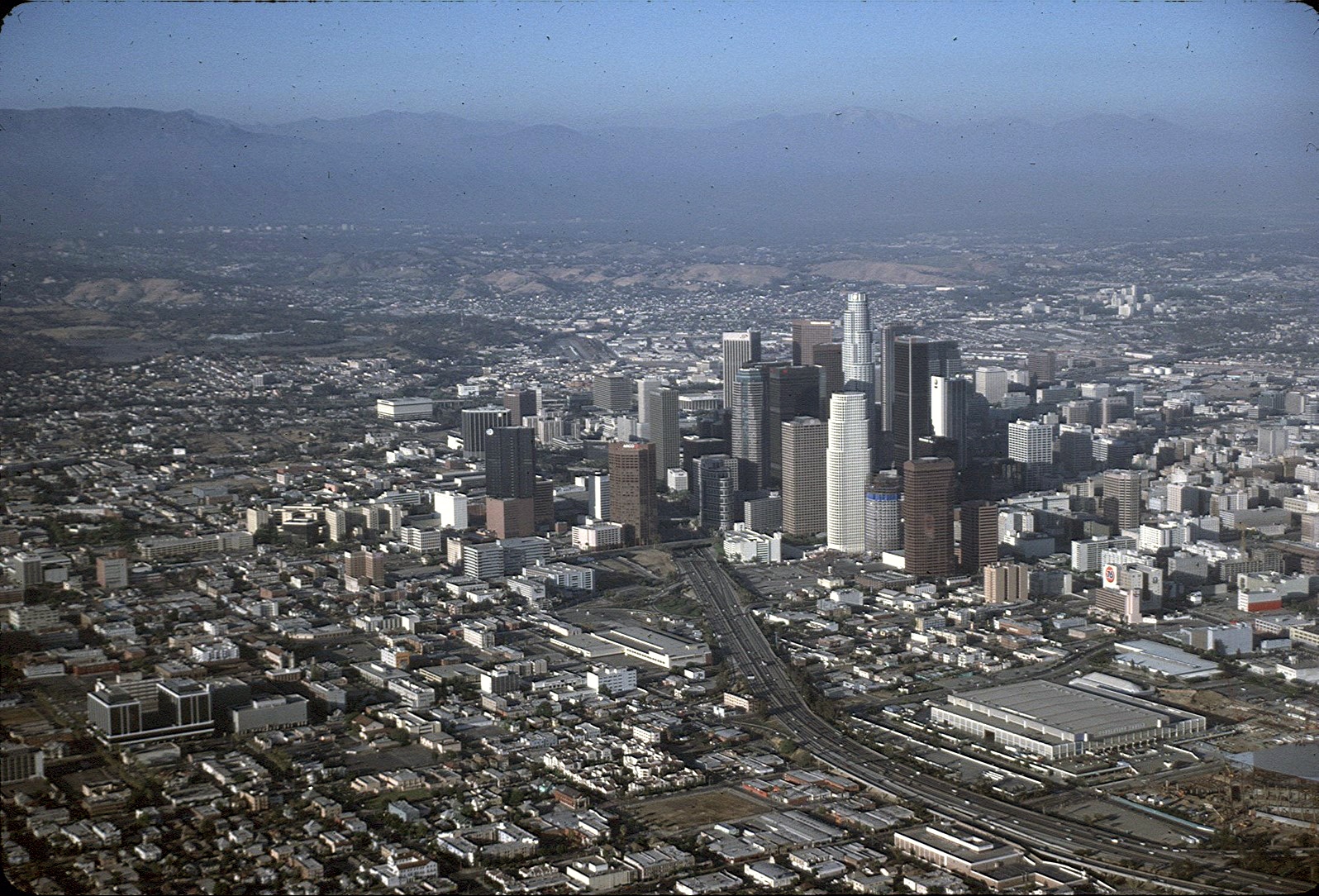 Downtown Los Angeles, 1991
Marina Del Rey, 1991 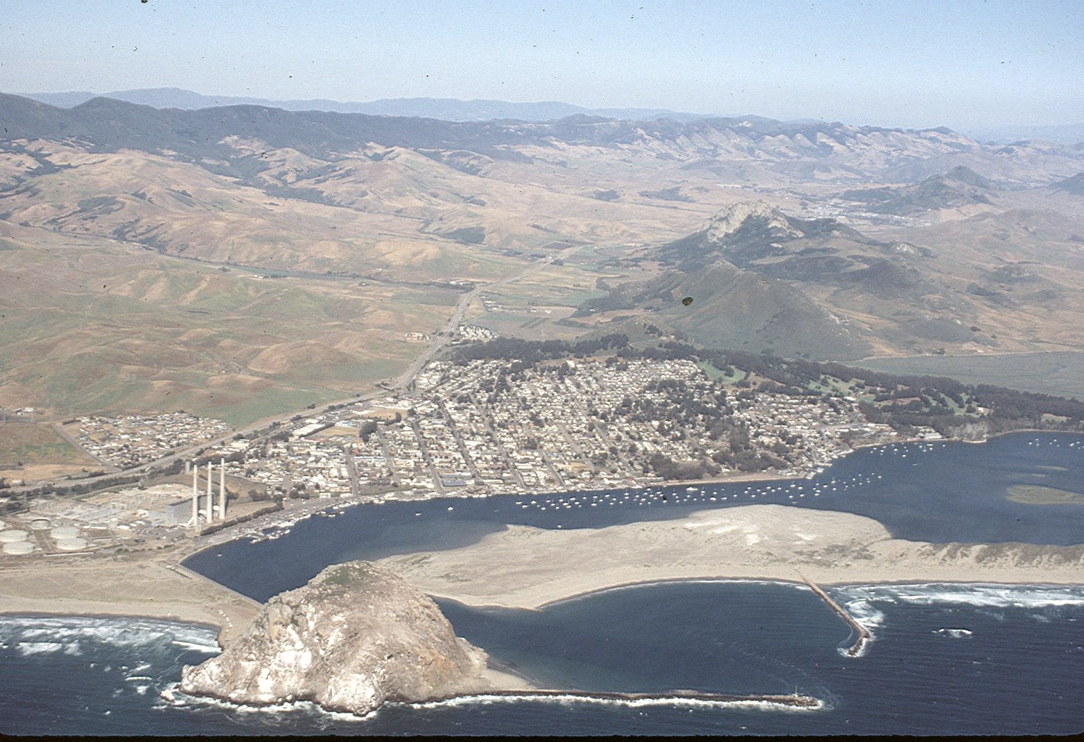 Morro Rock and the town of Morro Bay, 1991 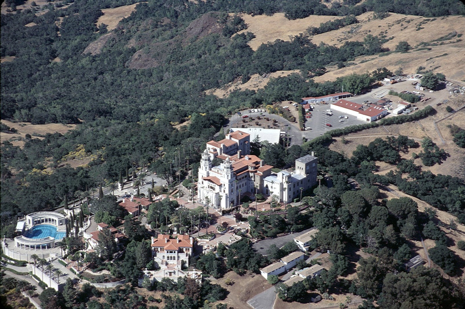 Hearst Castle 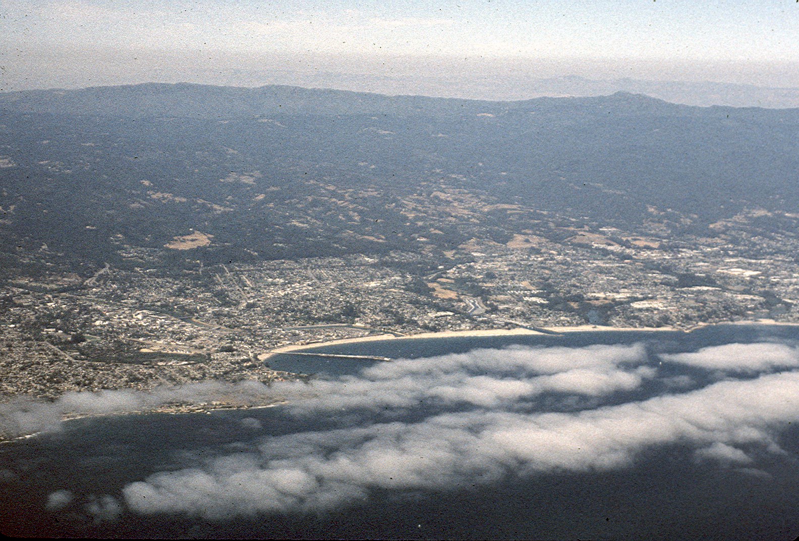 Santa Cruz,1991. 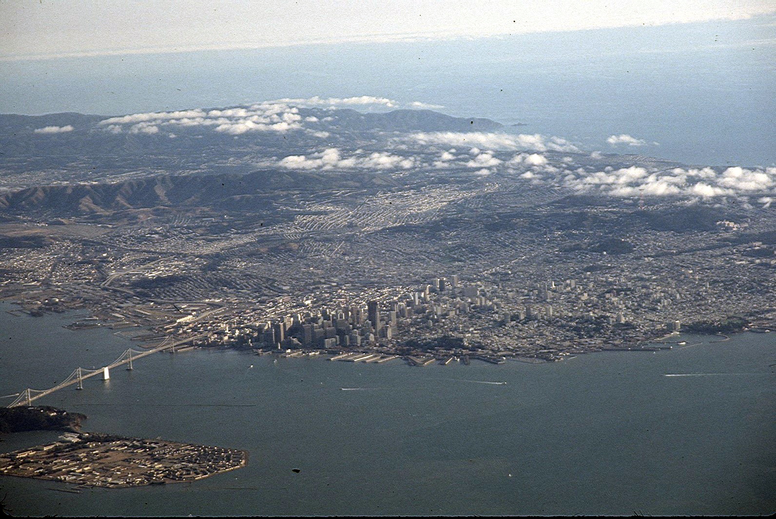 San Francisco and Bay Bridge, 1991 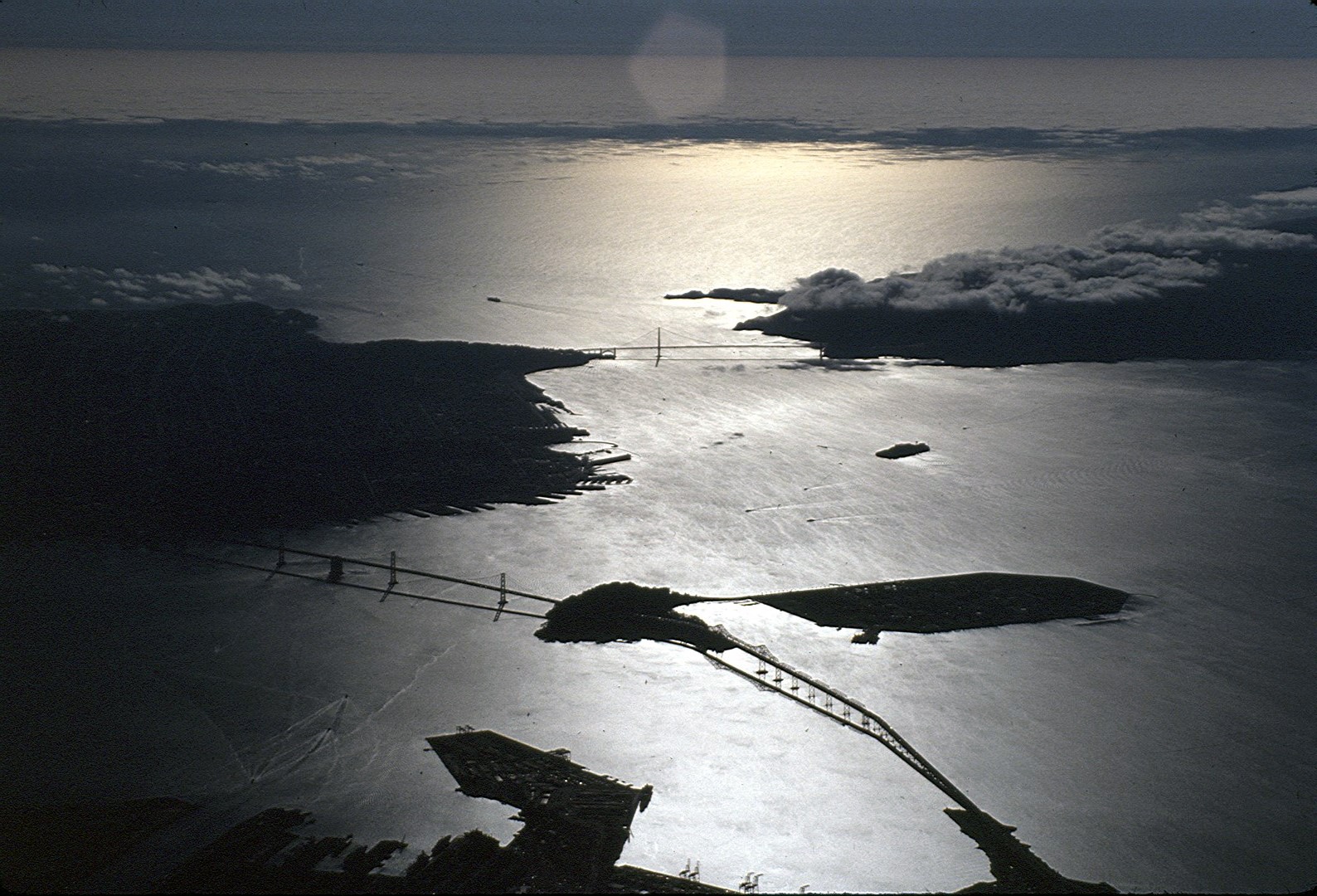 Bay Bridge and Golden Gate Bridge in late afternoon sun. 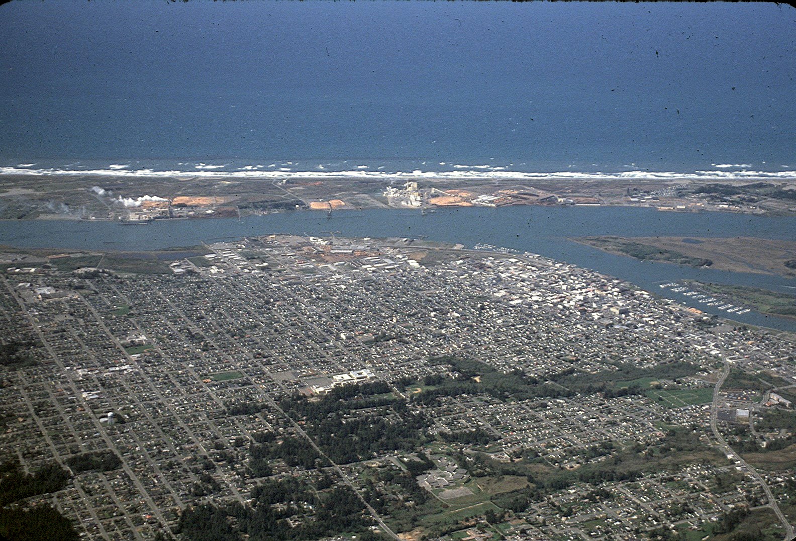 Eureka and Humboldt County, 1991 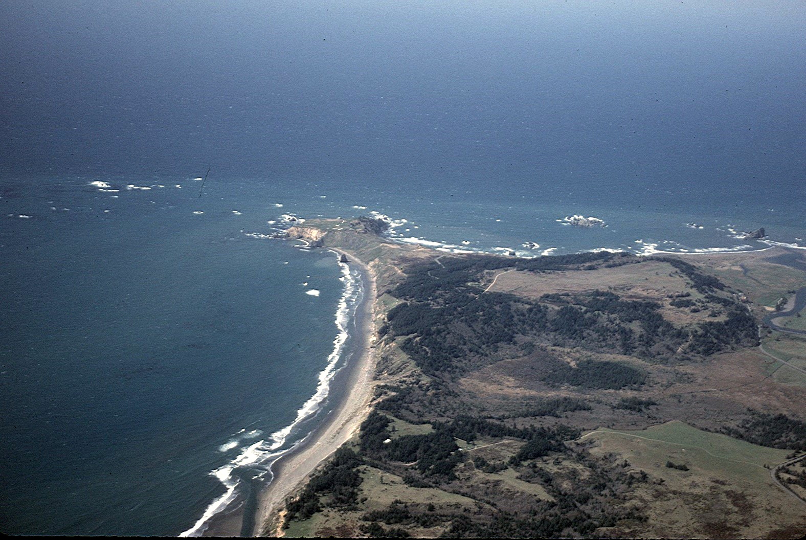 Cape Blanco, Oregon, westernmost point in the continental United States 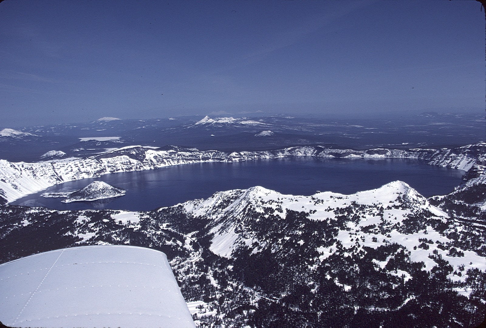 Crater Lake, Oregon, as seen from 10,000 feet elevation sor 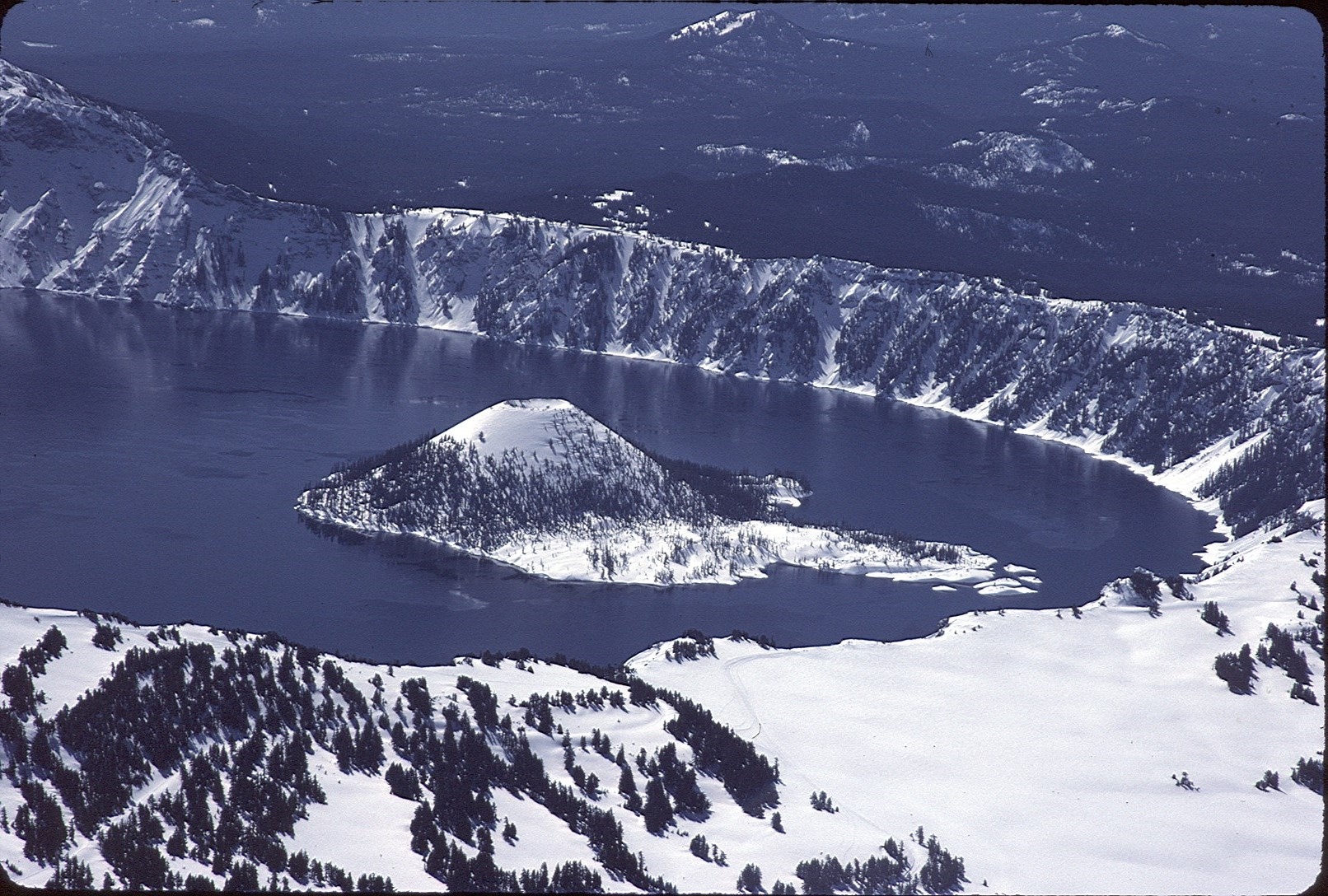 Crater Lake from a different angle. Note Wizard Island. 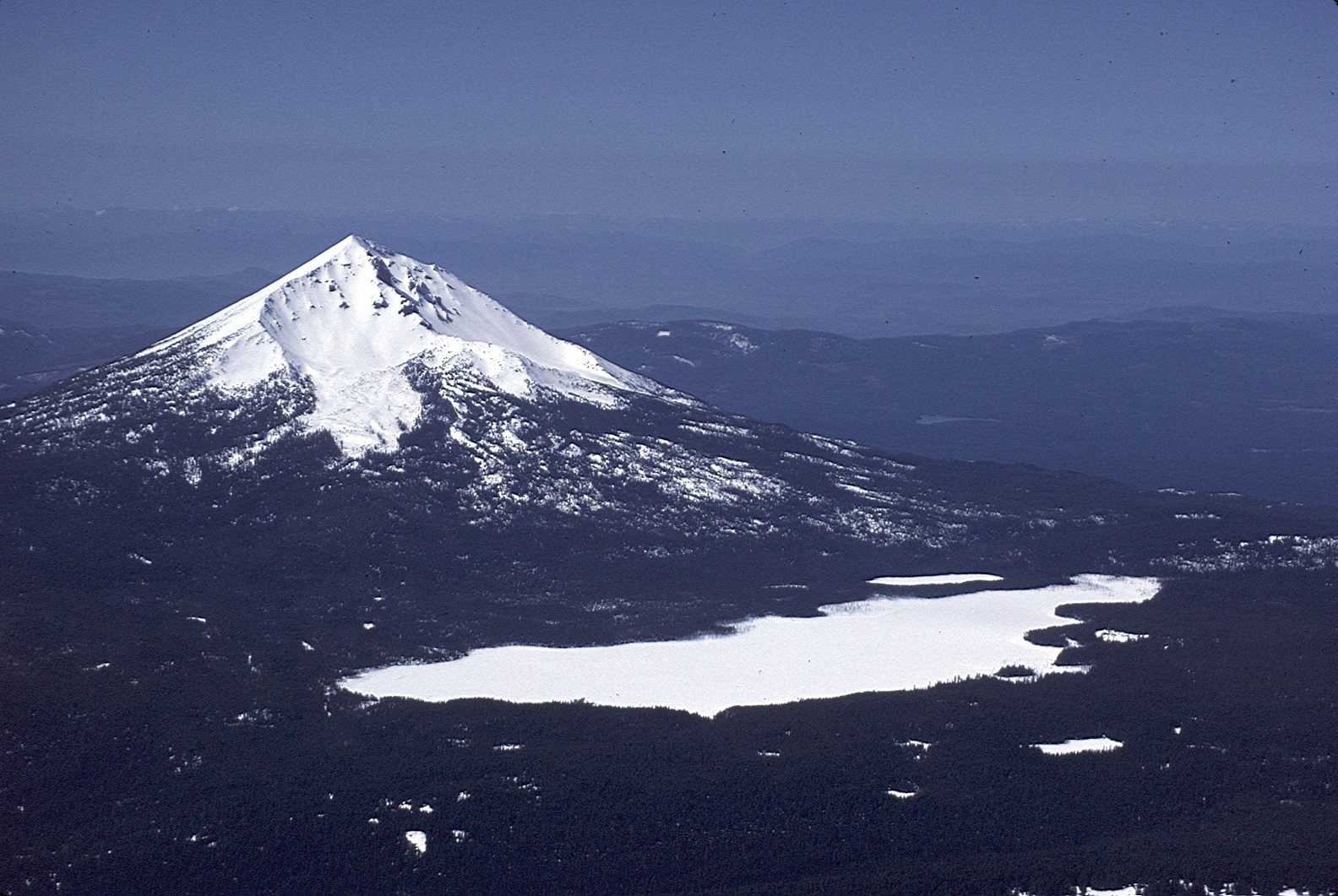 Mount Mcloughlin, Oregon, another volcanic peak in the Cascades 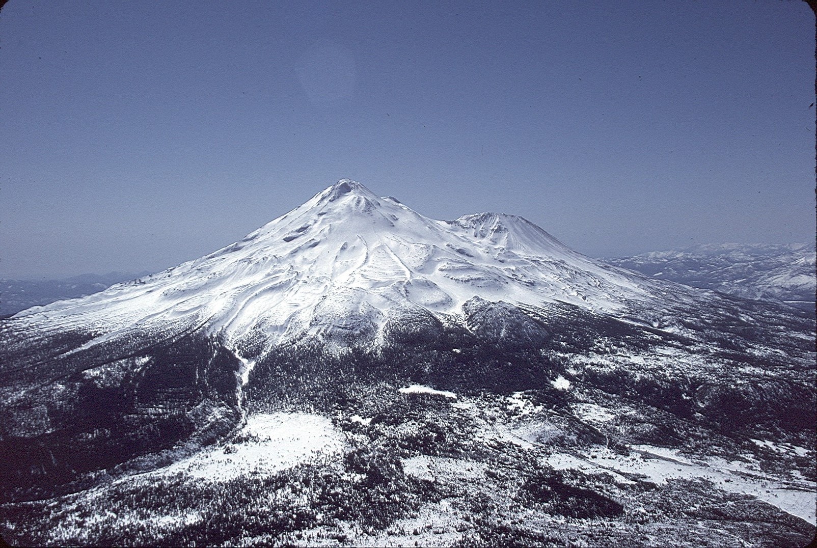 Mount Shasta, California 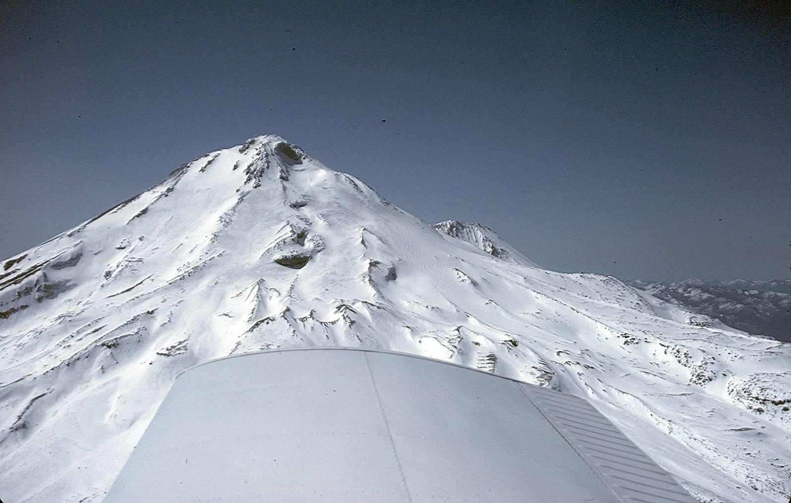 Mount Shasta, elevation over 14,000 feet, as seen from the Piper Cherokee's service ceiling of 10,000 feet. 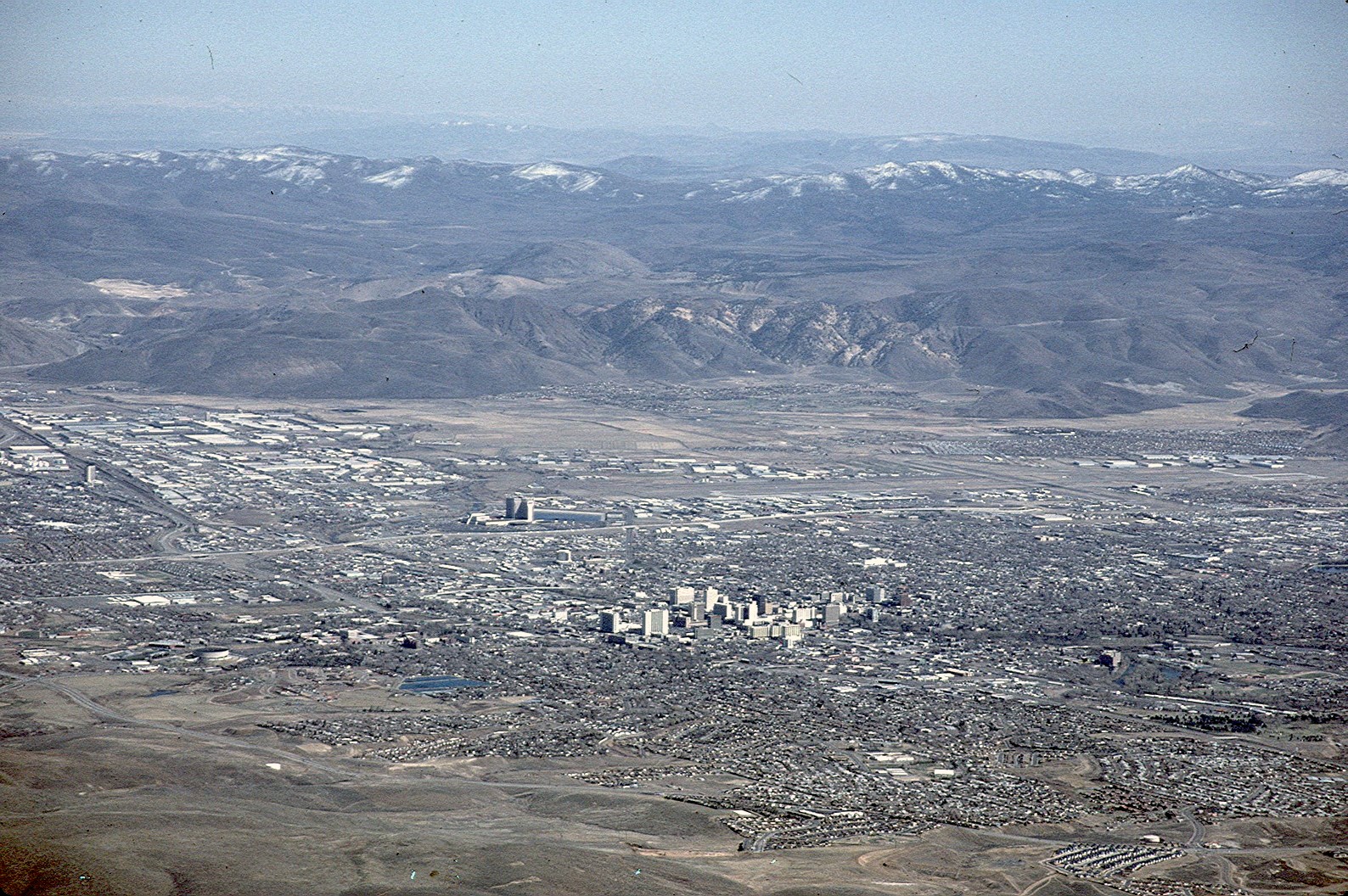 Reno, Nevada, as it appeared in 1991 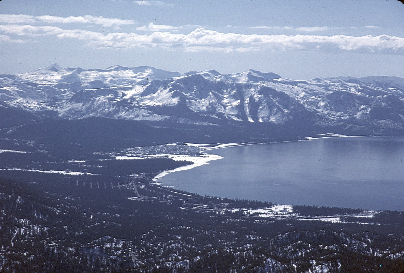 Lake Tahoe as seen from near the Mt Rose, Nevada, ski area 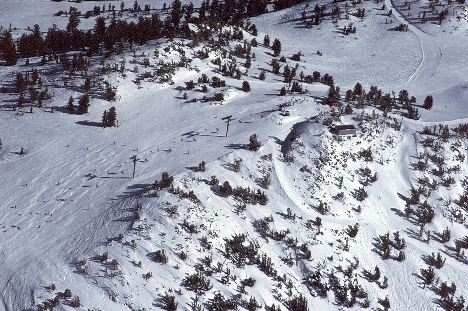 Mt. Rose ski slope in March, 1991 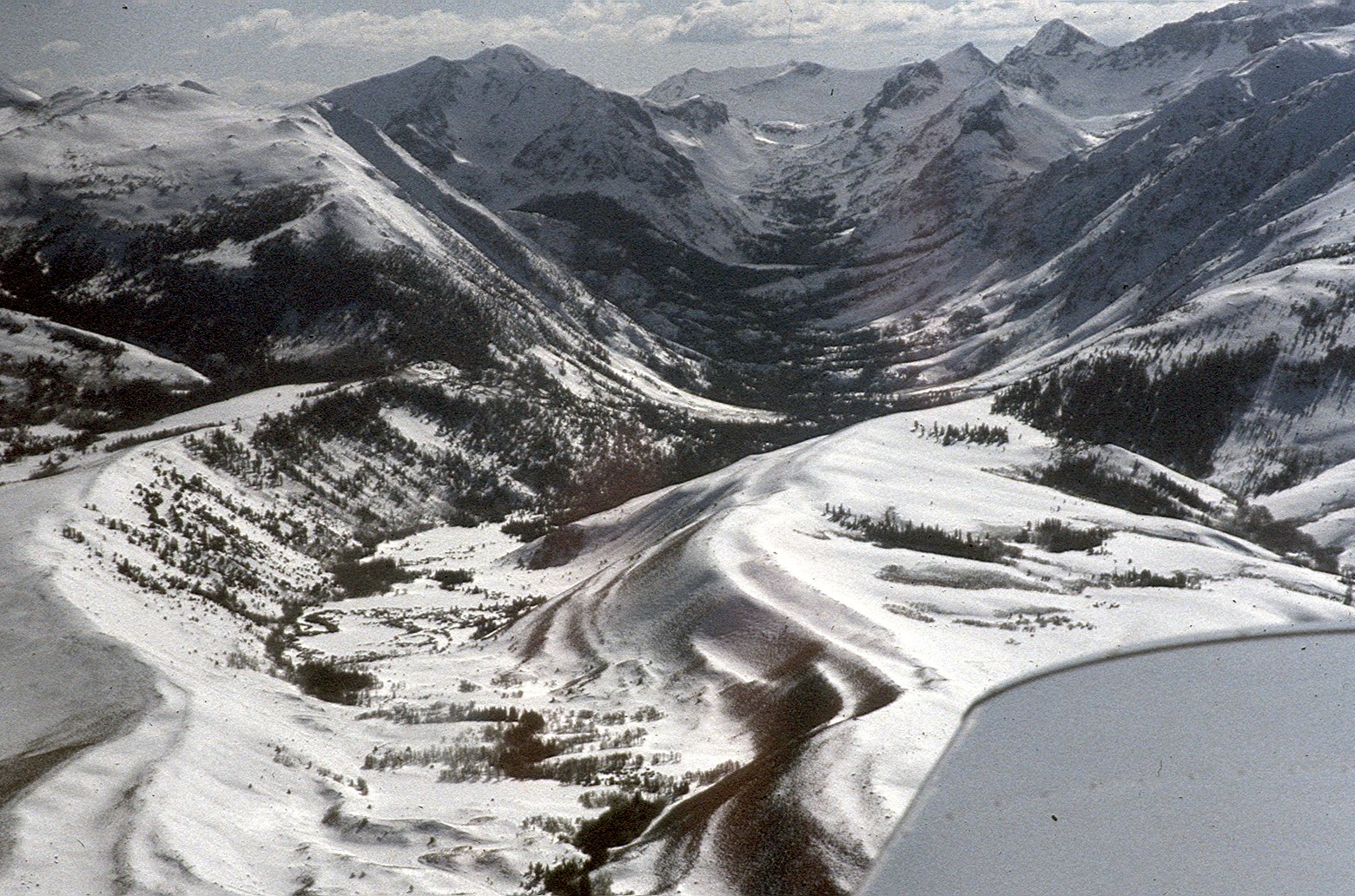 A unique aerial view of a u-shaped glacier-formed valley in the eastern Sierra  Mono Lake and the White Mountains 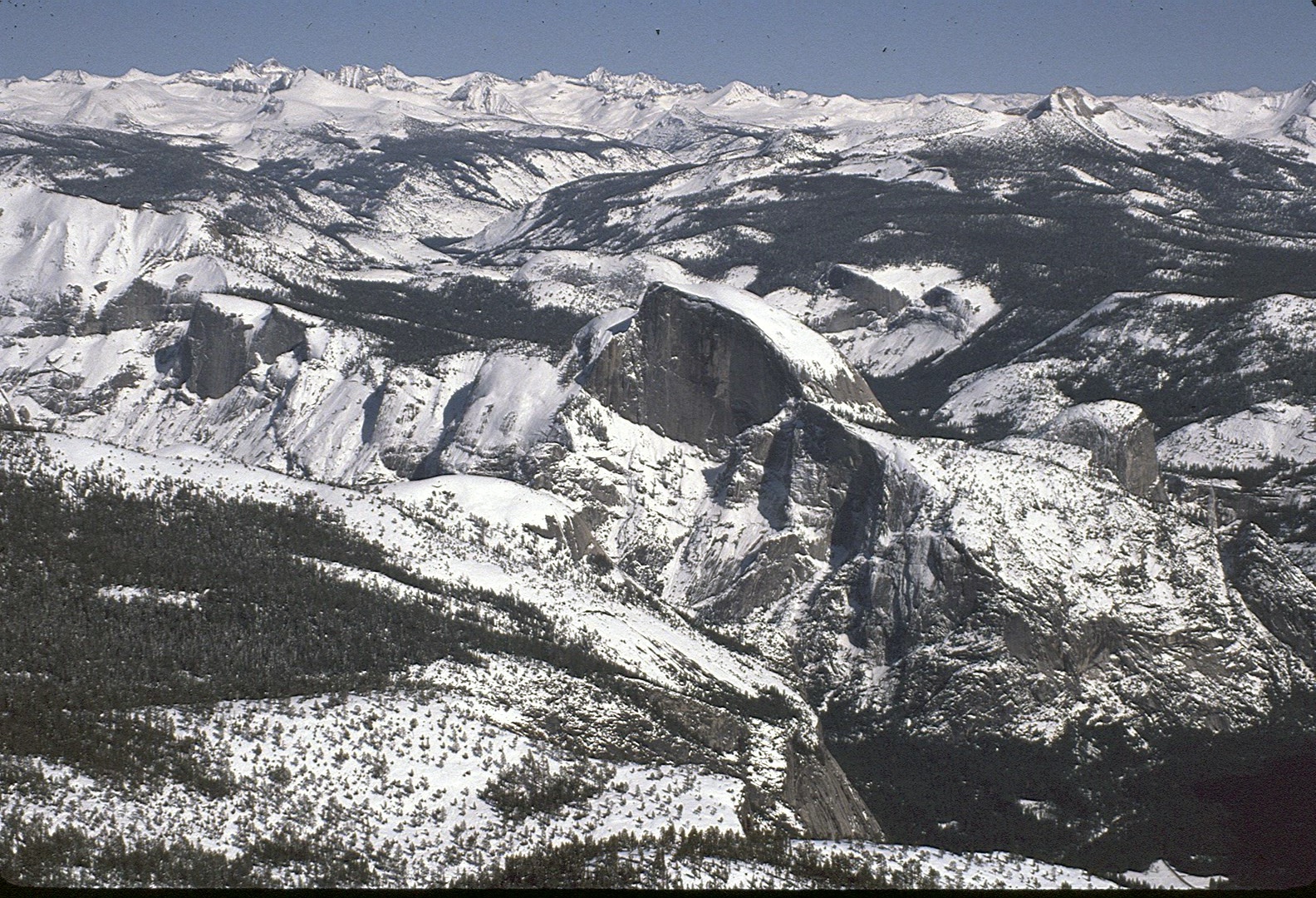 Half Dome in Yosemite National Park after a big snowstorm... 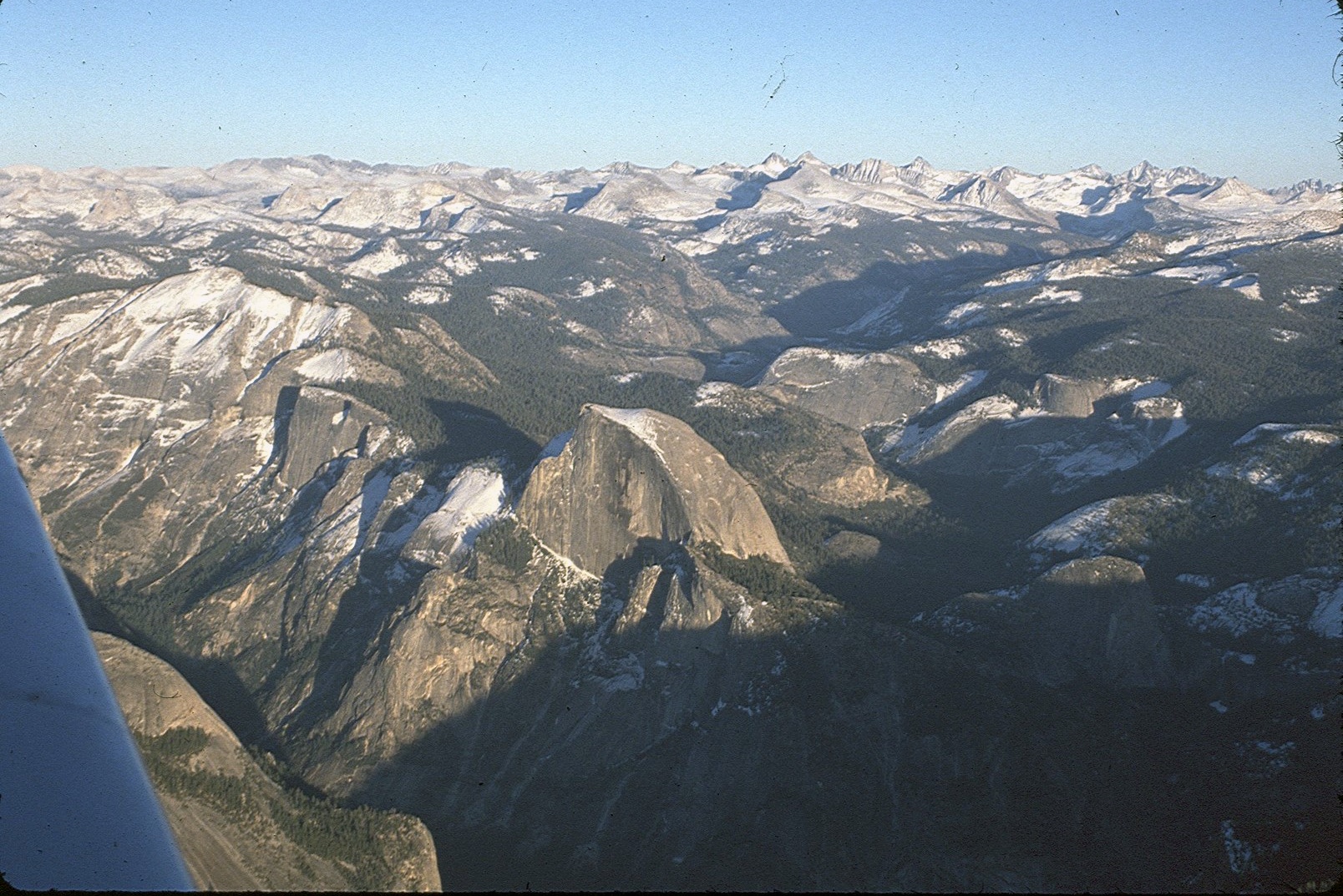 Half Dome before the storm in March, 1991 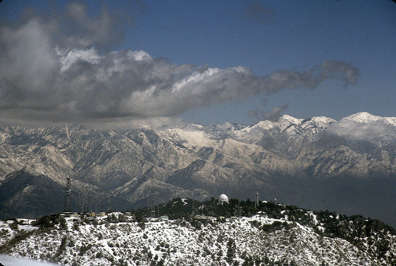 Mount Wilson observatory and towers 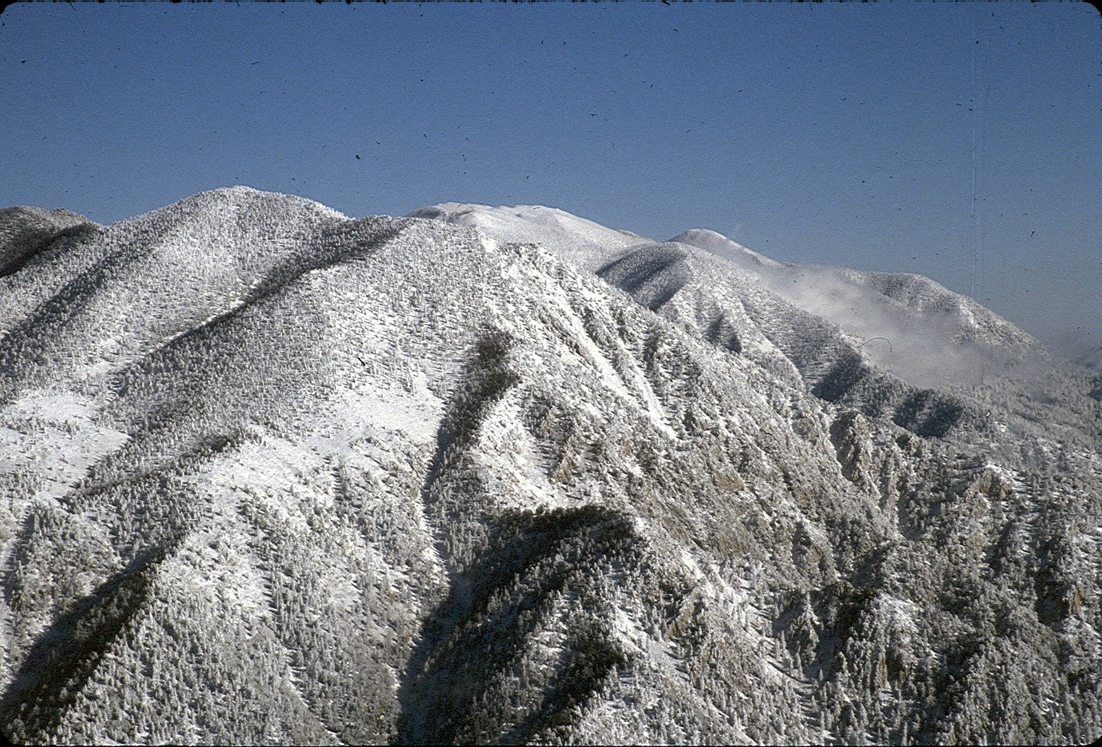 Saddleback in Orange County after a snowstorm 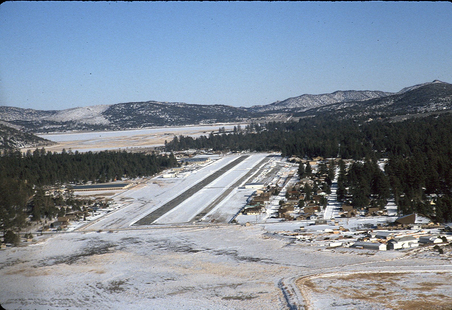 Big Bear Airport, scene of many crashes in warmer weather involving under-powered Piper Cherokees whose pilots didn't understand about density altitude 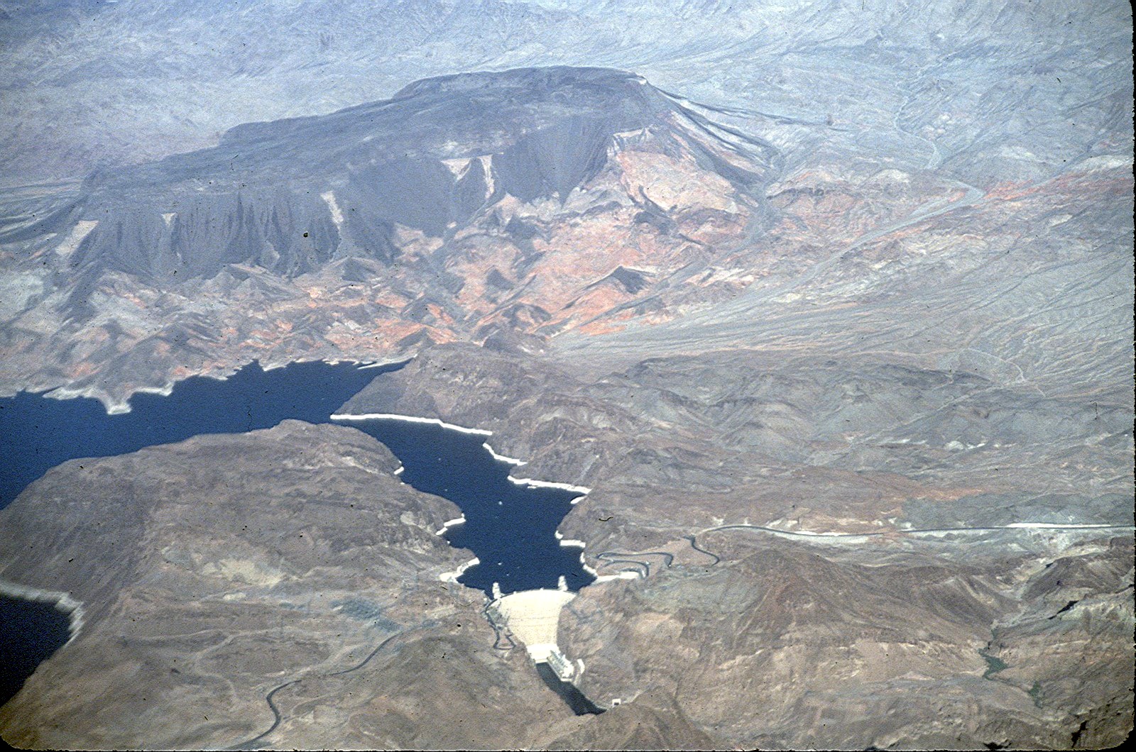 Hoover Dam from the air 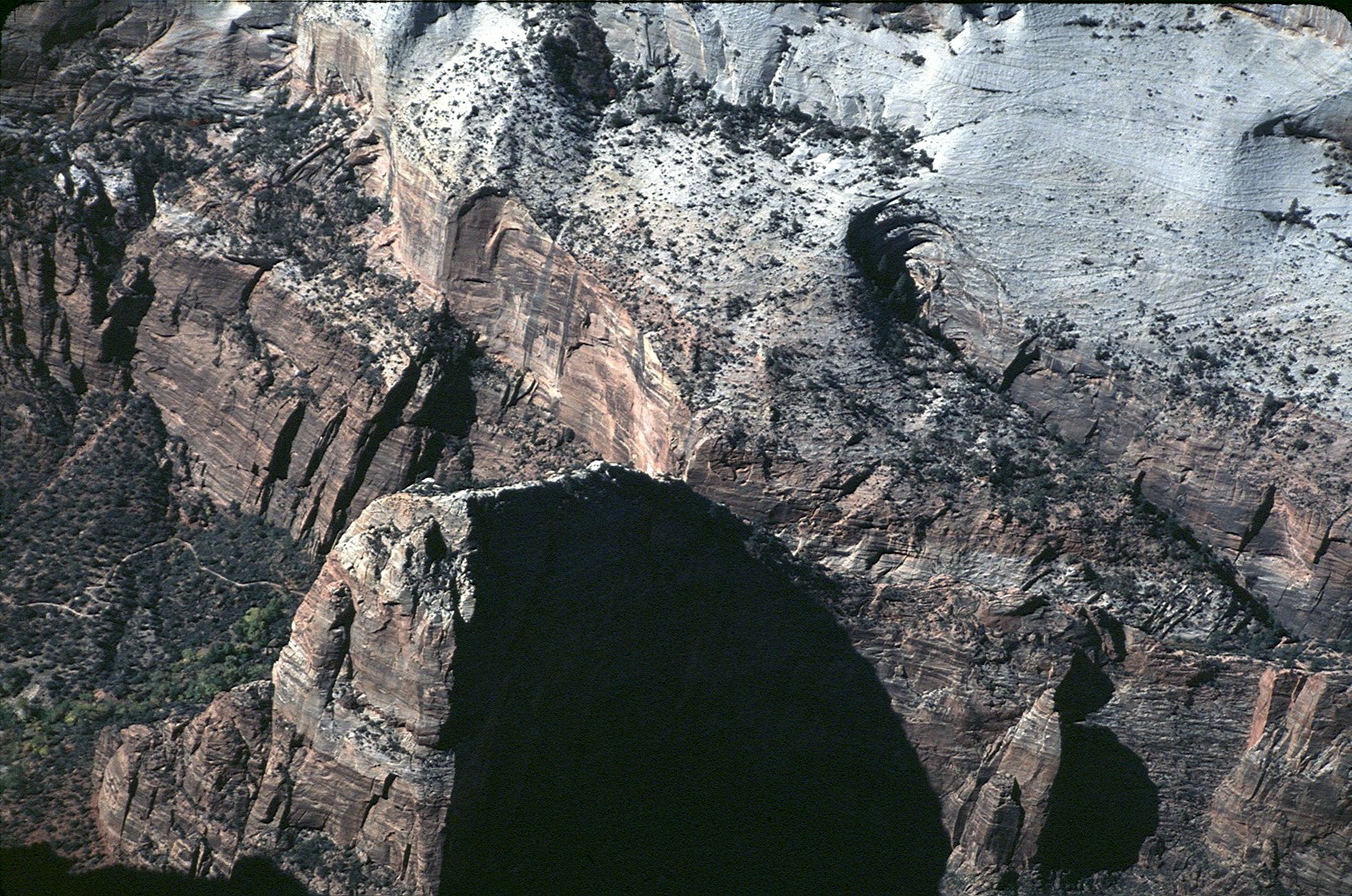 Angel's Landing in Zion National Park, Utah, a favorite hiking detination, as seen from above 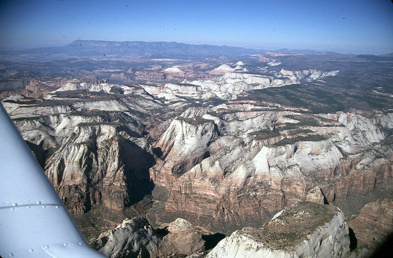 Zion National Park looking toward Bryce Canyon and Cedar Breaks, Utah 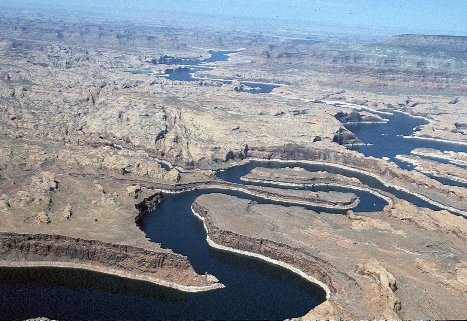 The winding river below St. George, Utah 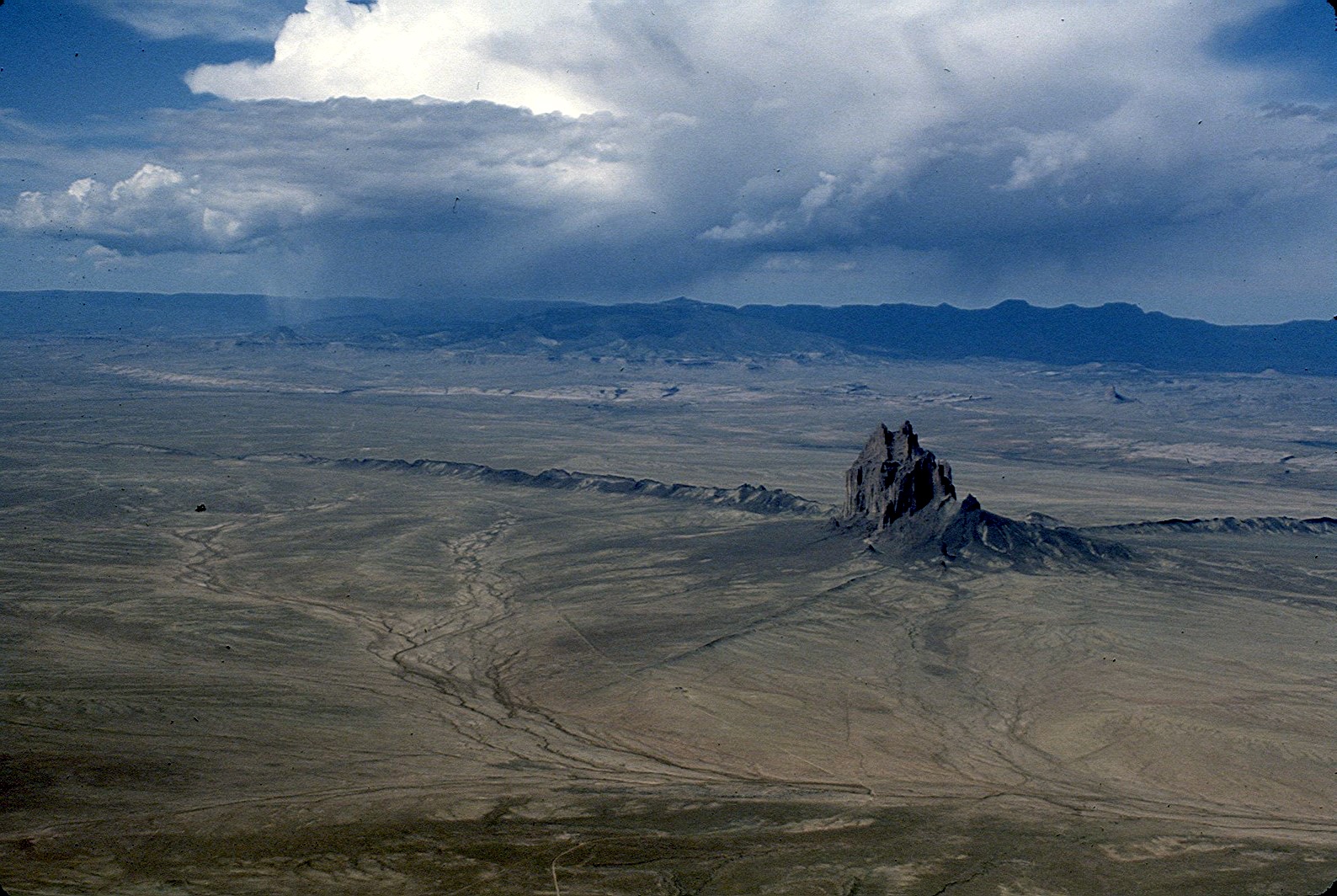 Ship Rock, New Mexico, during a thunderstorm (near Four Corners) 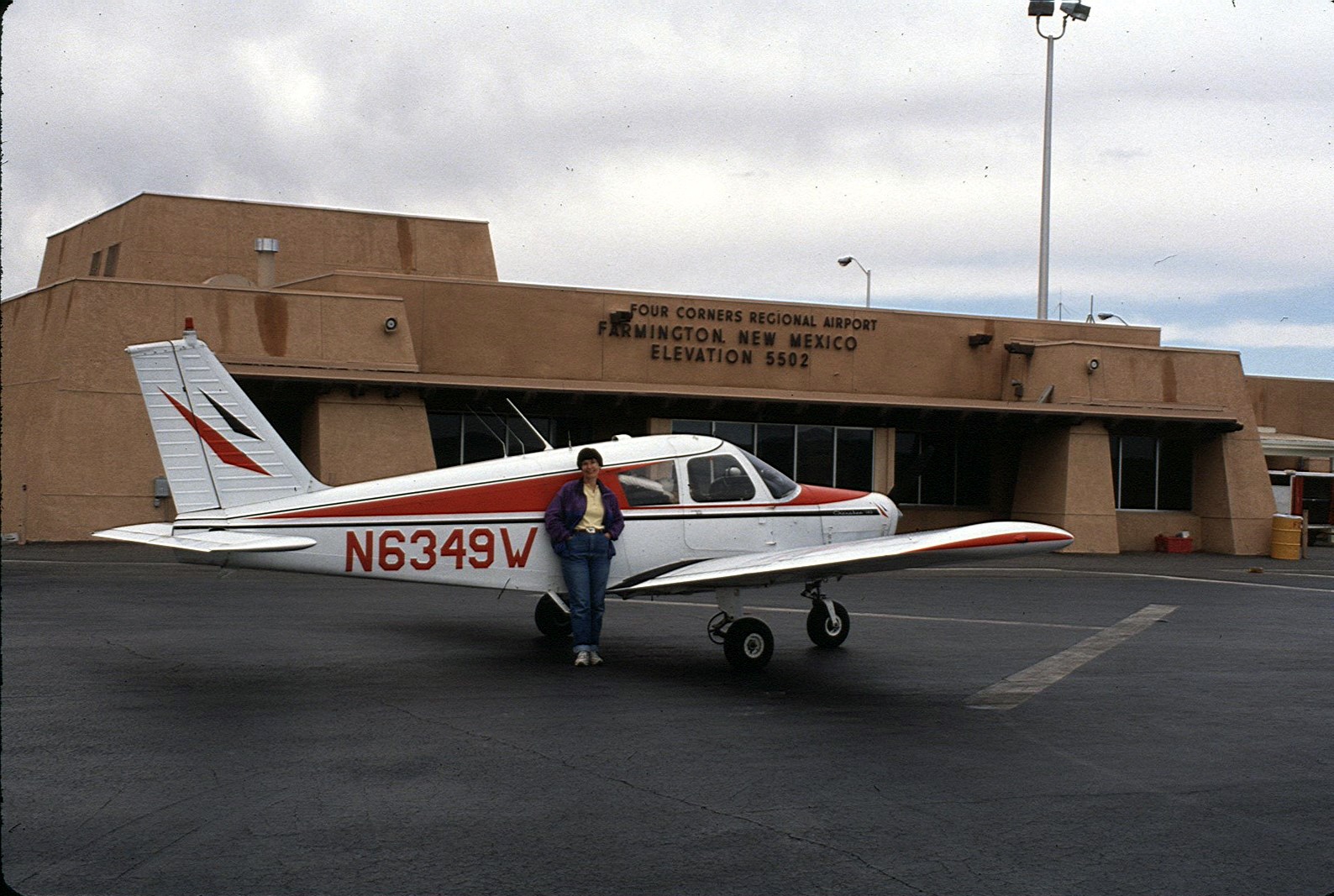 Farmington, New Mexico, a long nonstop flight back to home (Fullerton, California)
|
